Paused for Flood Relief — Back Nov 1
Satellite Colour. Painted by Hand.
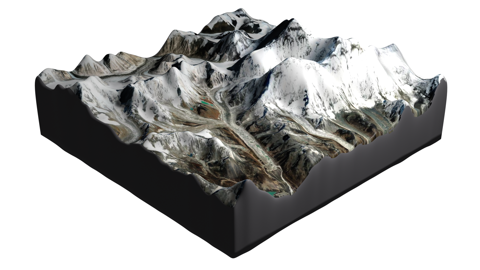
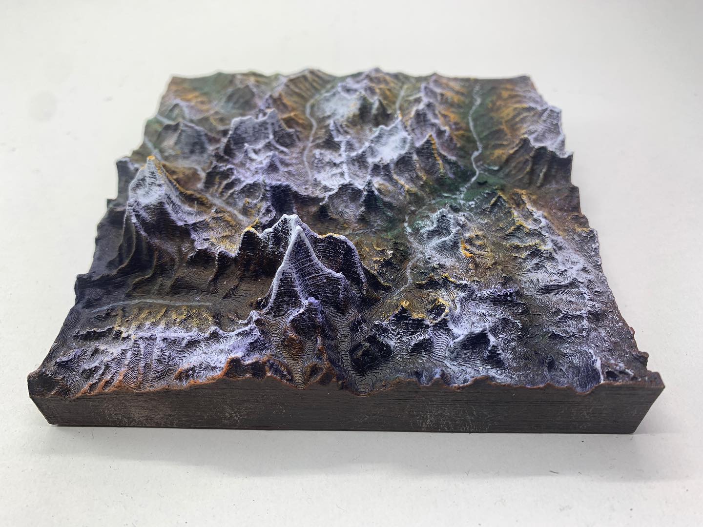
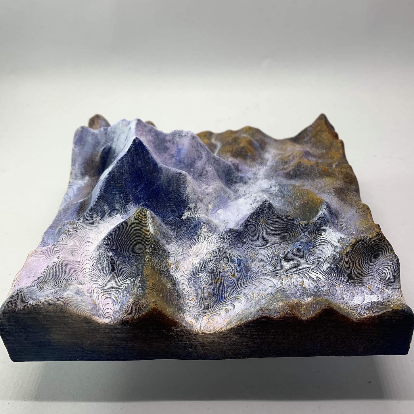
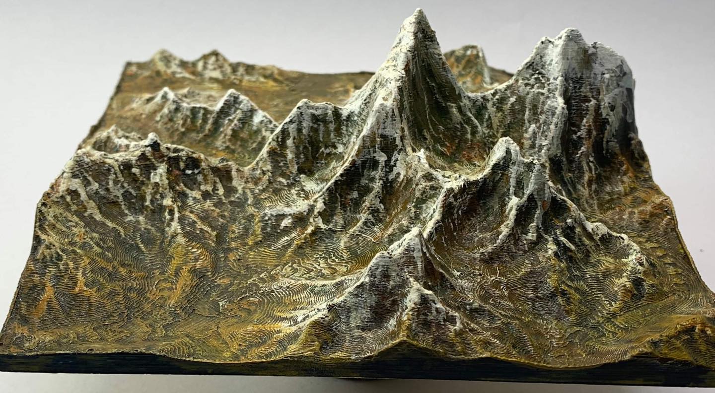
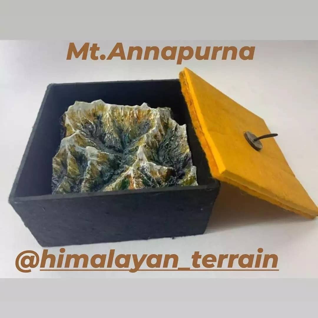
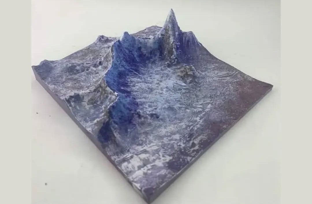
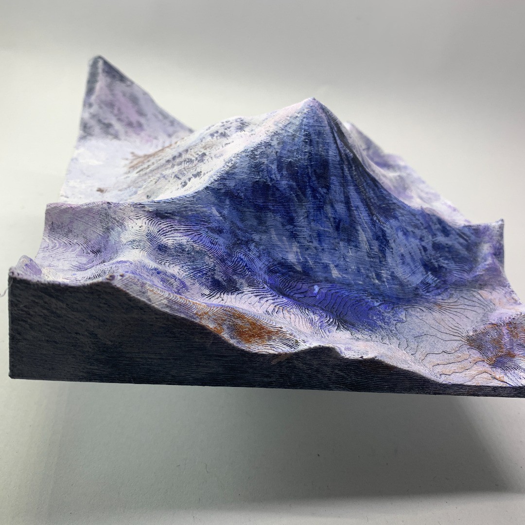
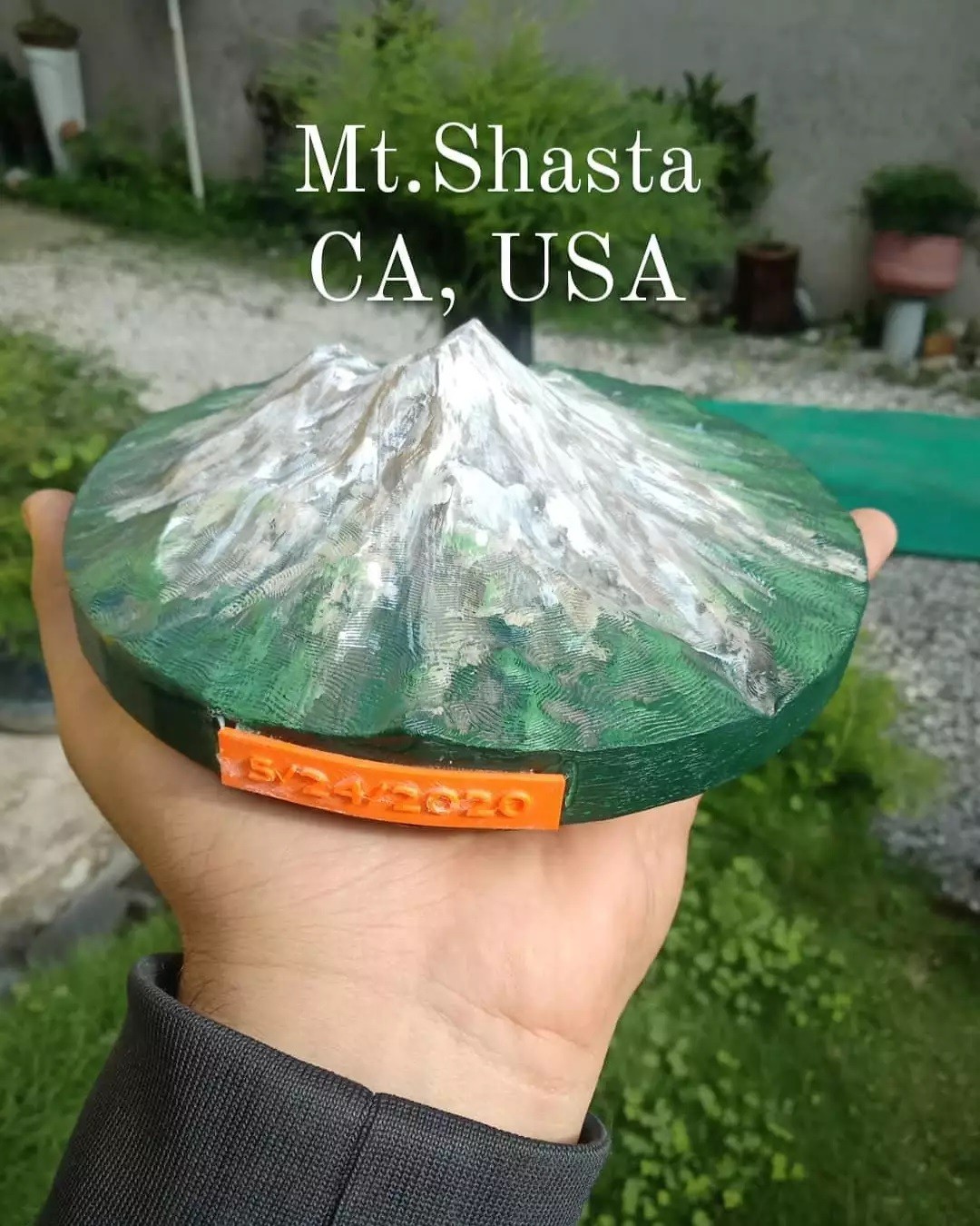
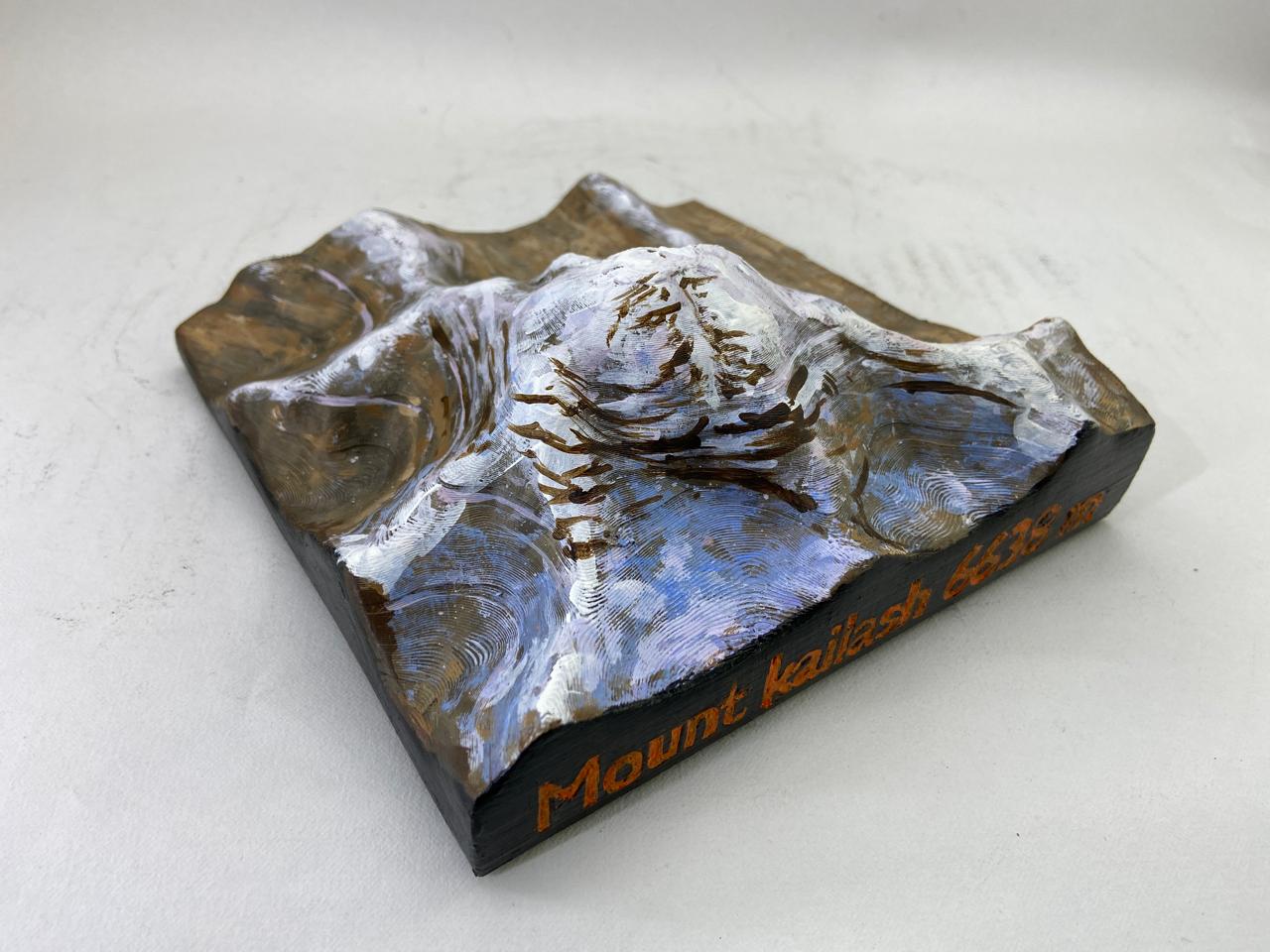
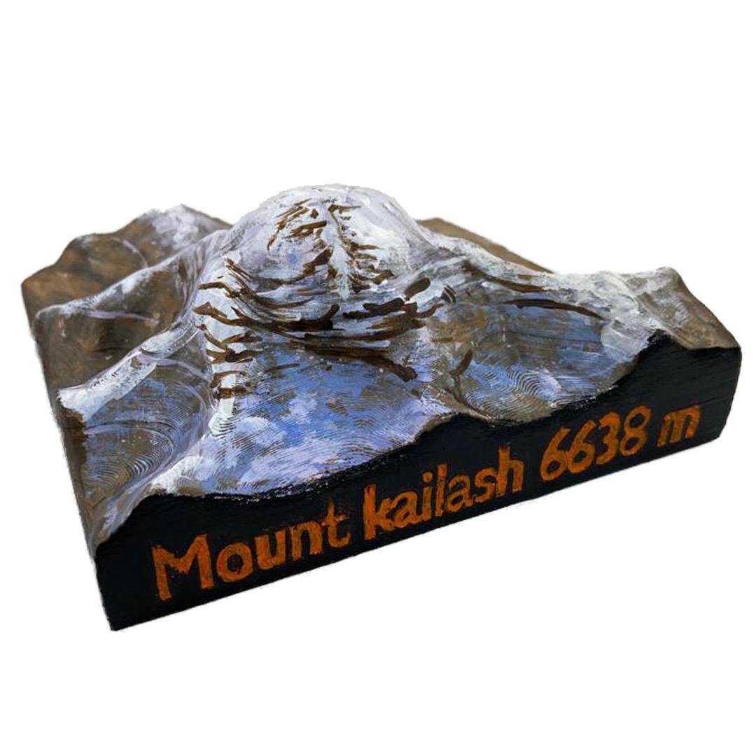
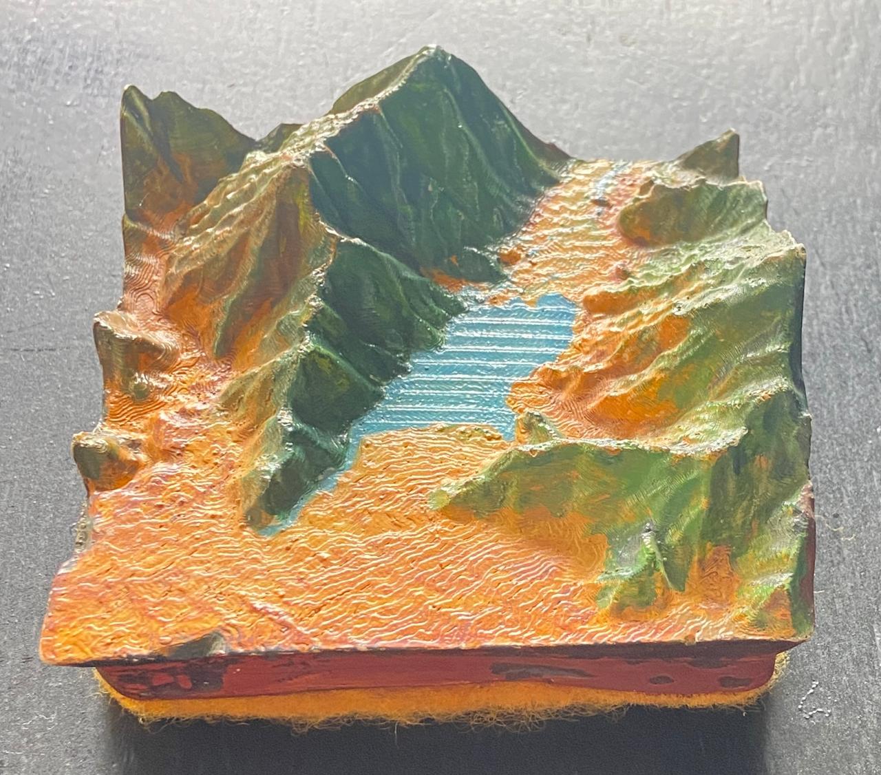
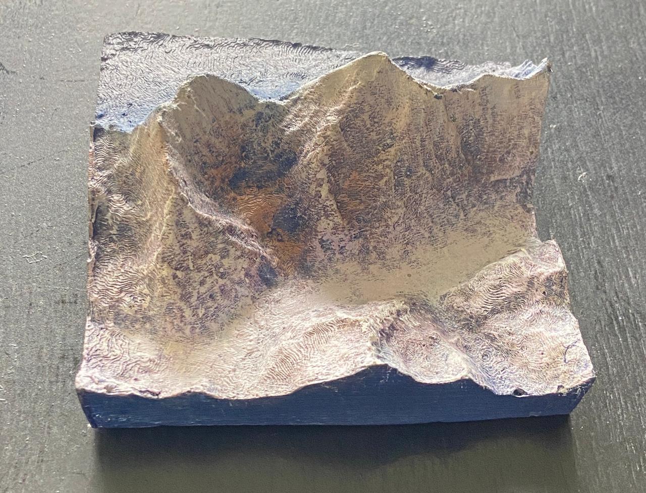
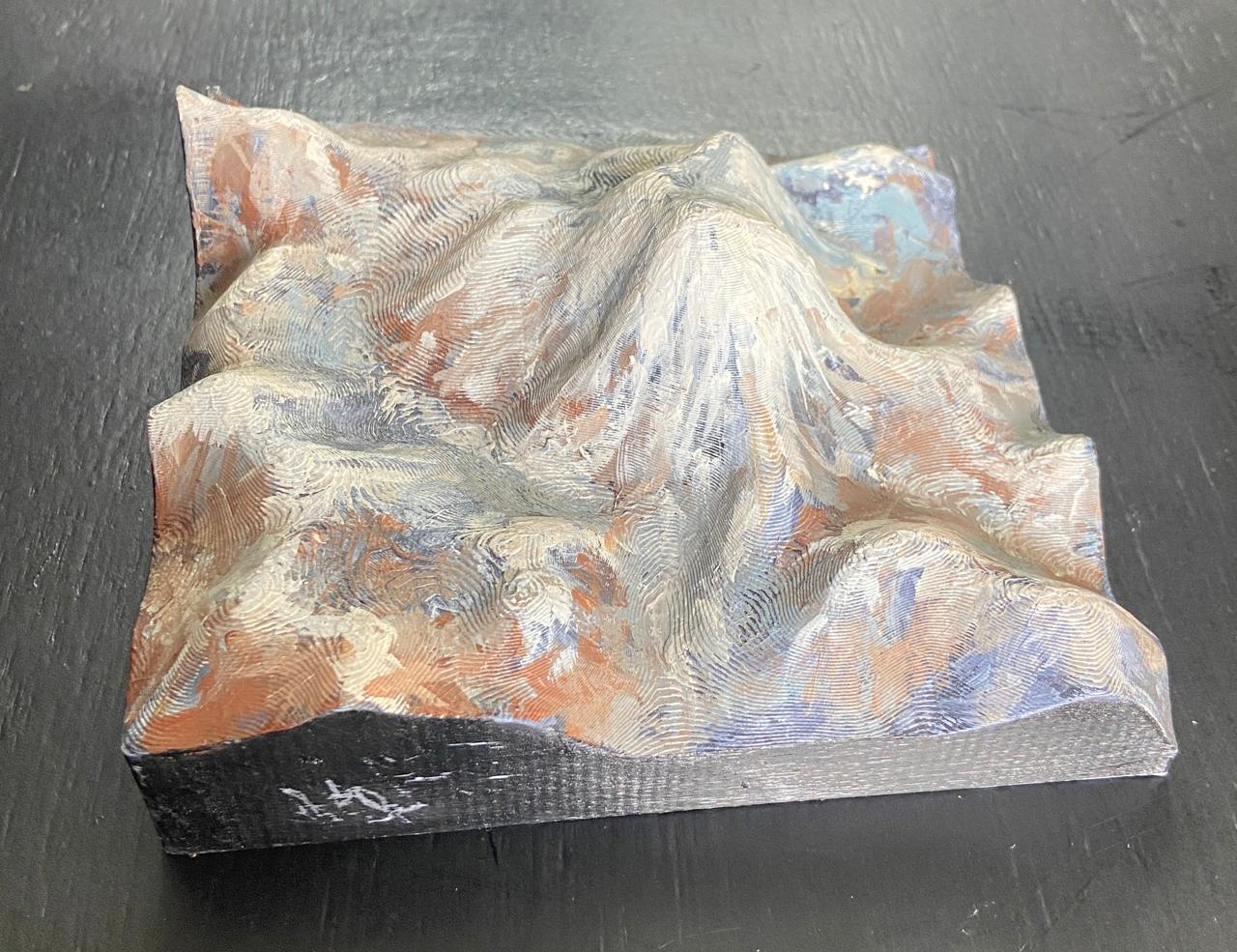
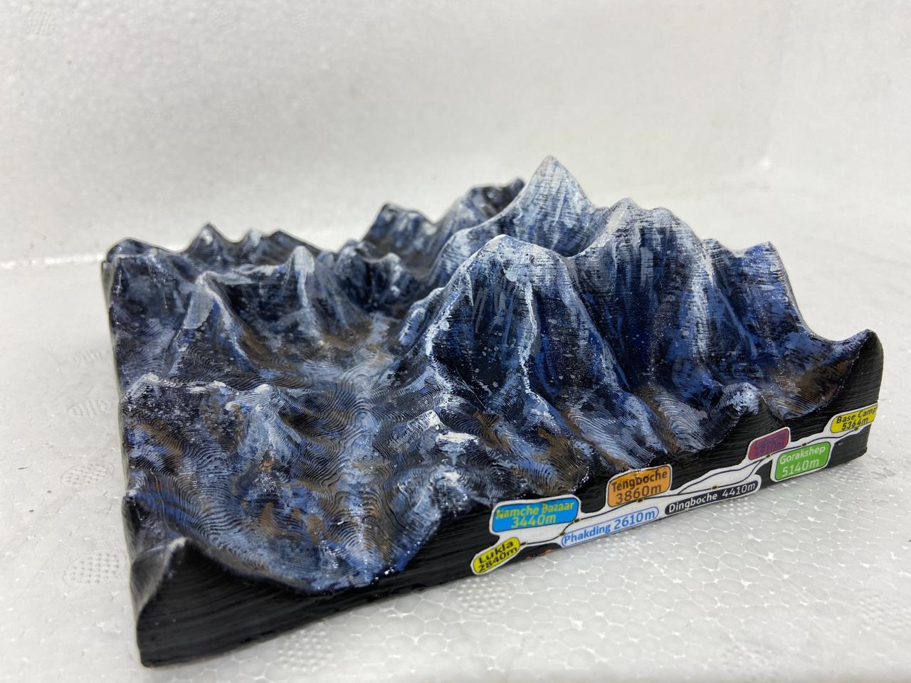
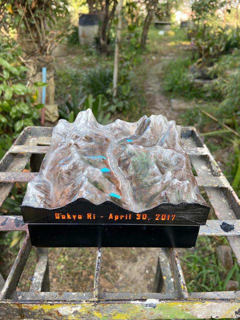
Every terrain on this site can be ordered as a physical piece — 3D printed, then hand-painted in Kathmandu to mimic the real satellite colour data baked into the digital model. Pick any mountain, choose your size, and we'll paint it to match.
Hand-painted orders are paused through October 31 so we can focus on flood relief. The plain digital file for any mountain is still available on the STL page — 100% of that sale goes directly to Nepal's official relief fund.
Hand-Painted in Kathmandu
Mimics Satellite-Accurate Colour
Any Mountain, Made to Order
~4 Week Turnaround