02 // Digital Topography

Own the Mountain. Print it Yourself.

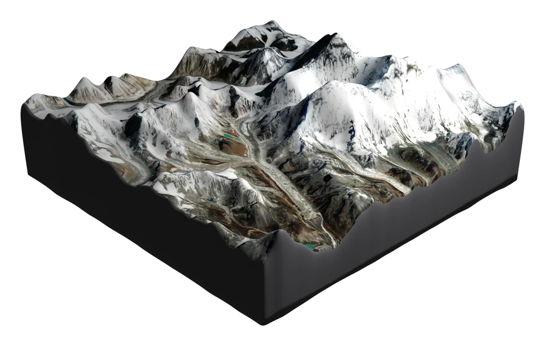
Satellite-accurate 3D terrain files sourced from NASA SRTM and ESA Copernicus data. Every contour, every ridge, every valley — geometrically faithful to the real mountain. Download. Print. Own it.

30m Resolution NASA SRTM Data
STL + OBJ + GLTF formats
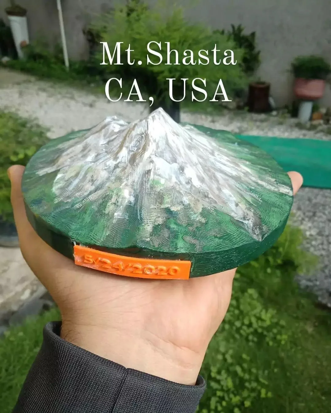
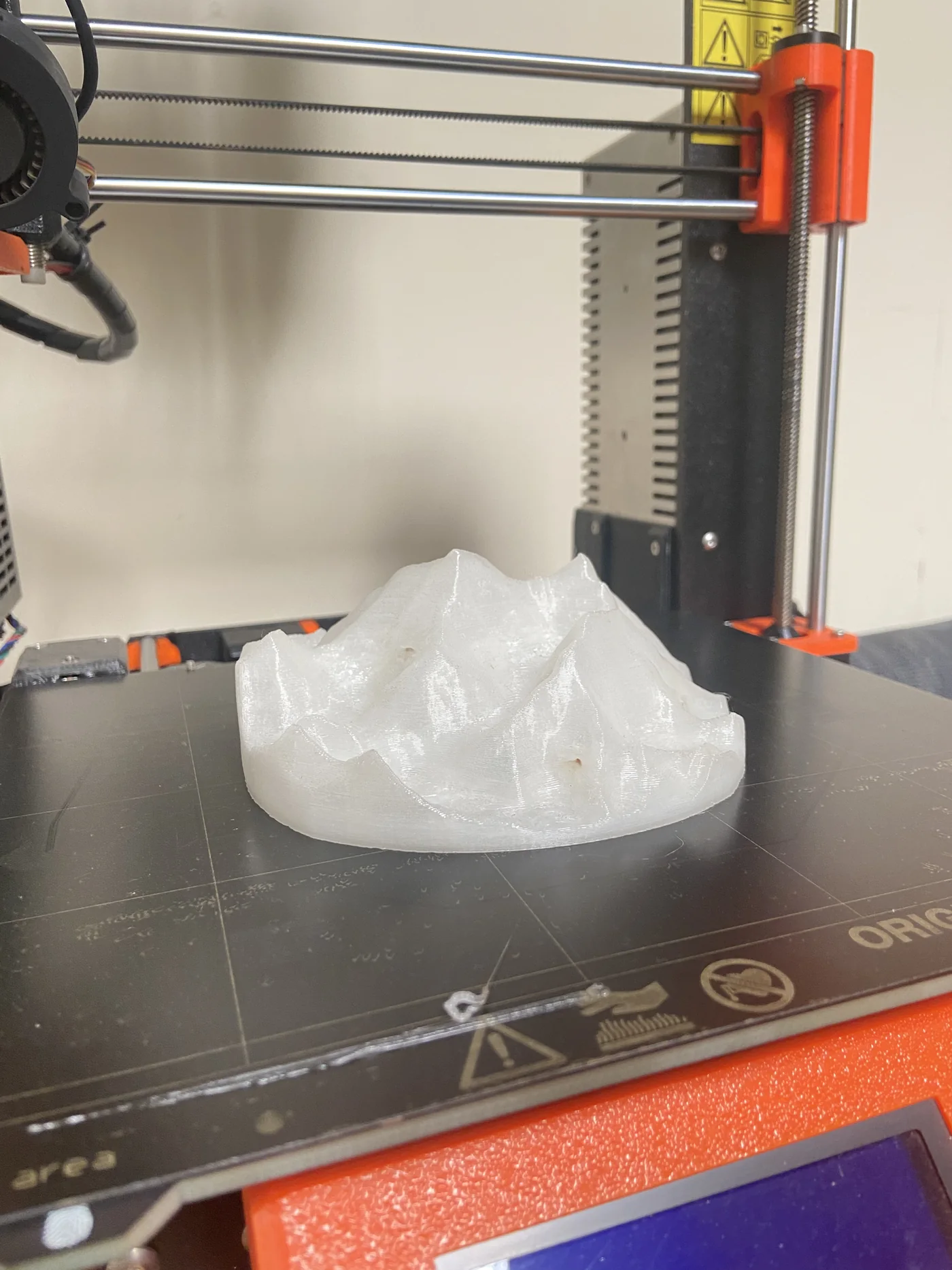
FDM & Resin Optimized
Instant Download
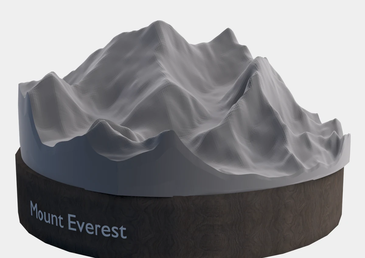
Live 3D Preview — Mount Everest
Output Dimensions

What Size Will It Print?

The terrain geometry scales to any size. These are our tested reference outputs — proportions are consistent with the real mountain's aspect ratio.

Height varies by mountain profile. Values above are for Everest. All files include a flat base plate for stable printing.

Choose Your Bundle

Pick Your Collection

Individual Mountains

Choose Your Peak

8,848m // NEPAL
Mount Everest
The world's highest peak. 2.4M vertices. Includes South Col route geometry.
Questions

What You Need to Know

What is an STL file?
An STL (Standard Triangle Language) file is the universal format for 3D printing. It contains the complete 3D geometry of the mountain. You open it in any slicer software (Bambu Studio, Cura, PrusaSlicer) and print it on any FDM or resin printer.
What printer do I need?
Our files are optimized for FDM printers (Bambu Lab, Prusa, Ender series) at 150-300mm print size. They also work beautifully on resin printers for ultra-fine detail. We include recommended print settings in our Print Settings Guide PDF.
How accurate is the terrain data?
We source 30-meter resolution Digital Elevation Model (DEM) data from NASA SRTM and ESA Copernicus. This means every 30 meters of real terrain is represented by one data point. The result is geologically faithful — the ridgelines, valleys, and summits are real, not artistic approximations.
Can I sell prints made from your files?
Personal use and gifting is permitted. Commercial resale of physical prints requires our Commercial License ($149/mountain). Contact us for details.
What if I want a custom mountain?
We accept custom terrain commissions. Send us coordinates or a mountain name and we will generate a custom model. Contact us with your request — turnaround is typically 3-5 business days.